Minneapolis’ Chain of Lakes
“like a necklace of diamonds in settings of emerald”
Minnesota is the “Land of 10,000 Lakes” – and Minneapolis is the “City of Lakes!” And Minnesotans know how to “Do Summer” at “The Lake,” – wherever that lake may be.
A drive – and walk or canoe – around the Minneapolis Chain of Lakes is one of Cher’s Top Ten Things To Do in Minneapolis. This is where Skip and I spent a lovely Sunday afternoon on our recent Travel Date.
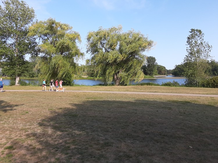
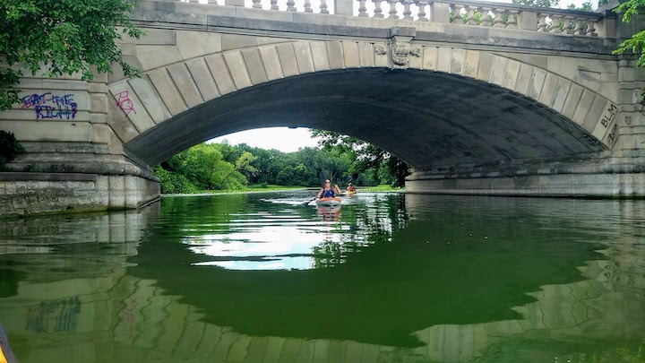
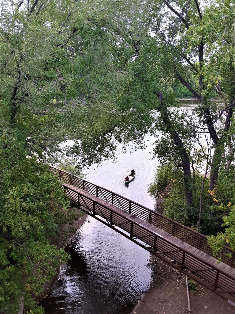
Minneapolis, the “City of Lakes,” has its own group of lakes: the Minneapolis Chain of Lakes. Part of the city’s park system, it includes a network of paved (and some dirt) trails around the lakes for running, walking and bicycling. It is a spectacular spot for paddling, kayaking and sailing.
It was created, thanks to the vision, insight, forethought and investment of the city founders, men like Theodore Wirth. A Swiss-born horticulturist, park planner and superintendent of the city’s parks system, Wirth set it in motion over 100 years ago.
Today, the Chain of Lakes lays within vibrant park-like settings that has been aptly described as “like a necklace of diamonds in settings of emerald.”
In this post, I look forward to sharing a bit of these gems with you!

The Chain = Five Lakes
From north to south:
- Brownie Lake (upper left, unnamed on this map)
- Cedar Lake
- Lake of the Isles,
- Bde Maka Ska (recently renamed from Lake Calhoun),
- Lake Harriet
- All except for Lake Harriet are connected by waterways. (Wonder why? The answer is in the section on Lake Harriet.)
The Lakes: Fond Memories for Me
One summer, a friend and I rode our bicycles around each of the lakes and adjacent trails connecting the lakes, once logging 44 miles in a single day’s ride!
For many years, our family lived near these lakes in an idyllic neighborhood named Bryn Mawr (just to the north off of this map). One of our annual summer goals was to walk around each of the lakes at least once; mostly we achieved that goal!
We explored the nuances of each of the lakes, always discovering new things each year and each new season. This Travel Date relived many of these discoveries!
Brownie Lake was the only lake that was left to be explored by us. It is (unnamed) at the far northwest end (upper left) on this map. For some reason, it seemed inaccessible during past journeys; just a pond beside the highway. This time…it was different!
This Travel Date provided the chance to Explore and Discover something new – and it proved to be quite an adventure! In fact, it was so much of an adventure that Brownie Lake earned its own, private blog page! (Coming soon!)
Travel to anywhere – home or abroad – provides opportunities for NEW things to learn – NEW discoveries!
I love to learn and discover new things – and in this blog, I will share new things I’ve discovered – about each of the lakes we visited. I hope you find them interesting too!
Minneapolis Chain of Lakes on the Map
As a visual person, I am all about maps. Maps and pictures. I found the following maps on Google images that may help you get the lay of the land as it did for me. They each present a different aspect of what I will share on each lake. It provides a picture of why it is called a “chain” of lakes.
Maybe someday I can get on a helicopter to personally photo these from the air! Meanwhile, Google Images has a few that help give us some perspective.
Canoe/kayak route around Chain of Lakes
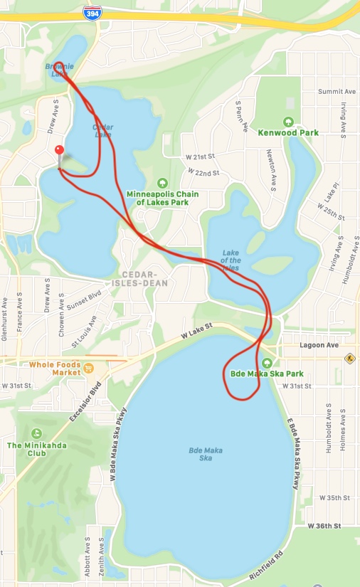
from twincitiesoutdoor.com/paddle-mpls-chain/ 21 August 2021
Using a combination of these two pictures, one can get a good idea of the waterways between these 3 lakes. Lake of the Isles opens up to Bke Maka Ska.
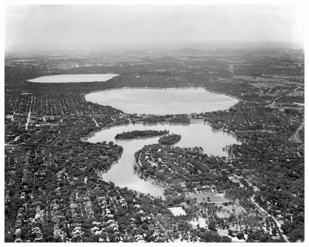
Aerial Views of Chain of Lakes

Above photo is looking south with Lake of the Isles (front), Bde Maka Ska (center) and Lake Harriet (back).
Drawing below shows Brownie Lake (top) and Cedar Lake (center) and Lake of the Isles (lower right). Bryn Mawr is where we used to live. Kenwood is where the Mary Tyler Moore House is located.
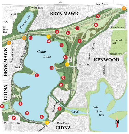
Google Images cedarlakepark.org 24 August 2021
Walking/biking rout around Chain of Lakes

Walking / Biking distances around each lake
Biking and walking around any of the lakes is a great experience. Each lake has its own parking challenges so check it out before your go. The Park website is a good resource.
- Harriet = 2.75 (walk), 2.99 (bike)
- Bde Maka Ska / Calhoun = 3.1 (walk), 3.19 (bike)
- Lake of the Isles = 2.63 (walk), 12.76 (bike)
- Cedar = 1.68 to 3.5 miles of walking and biking trails.
- Brownie = appox. 1 mile
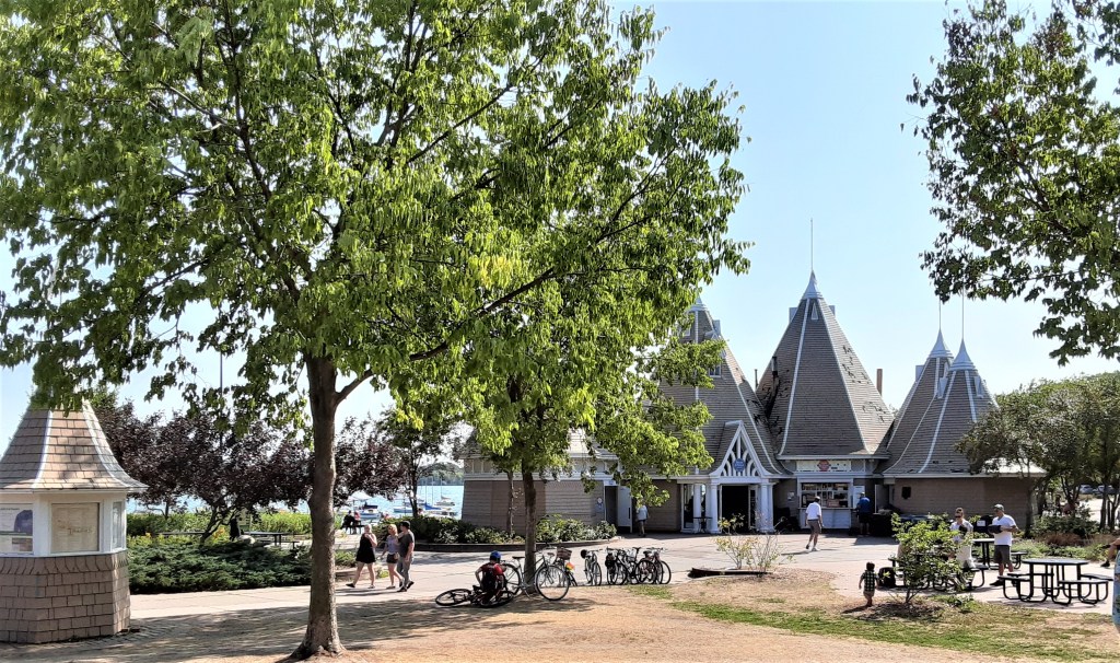
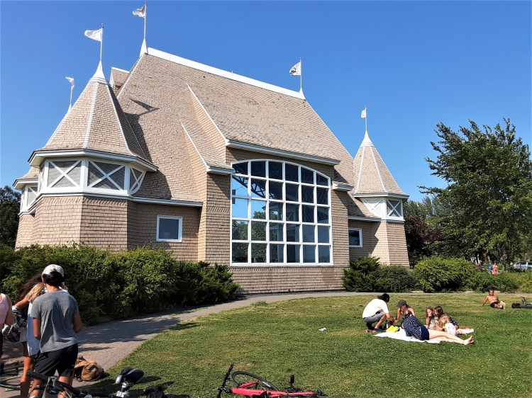
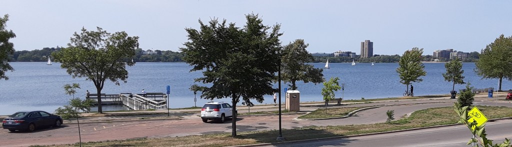
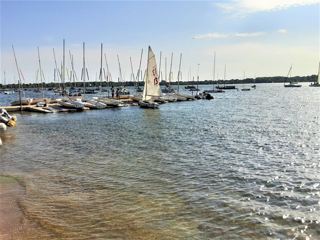
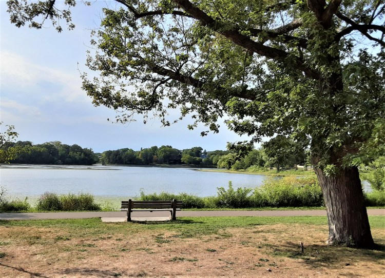
Lake Harriet
Lake Harriet is much more than a lake. Its pavilion, besides making one feel as if one is in a fairy land, is an entertainment center sponsoring concerts free to the public as long as the weather permits. Around the corner to the northeast is a another world, one that is filled with flowers, butterflies, birds, and a Japanese peace garden. We did not get a chance to explore the gardens on this visit, but speaking from past explorations, they are well worth the time. And they are FREE!
The Lake
A perfect lake for sailing, floating swimming docks were installed in 2011.
P.C. Cher B 22 August 2021
Hungry? Thirsty? The Bread and Pickle, a privately operated eco-friendly restaurant, began serving customers at the pavilion in 2011. It’s menu is quite varied and reasonable.
A bicycle path was built around the lake during the bicycle craze of the 1890s. There was even an enclosure for people to check their bikes at the lake while they boated, or attended concerts. It was built to hold 800 bicycles!
In 2013 a Nice Ride bicycle rental kiosk was installed near the band shell. Sturdy, 3-speed, lime-green bikes are available to rent from a non-profit “bike share” company for short-term trips April through October, weather permitting.
The Name
Lake Harriet was at the center of park plans when the park board was created in 1883 – so it is appropriate to list it first! It is the southernmost lake in the chain.
The lake was named for Harriet Lovejoy, wife of Colonel Henry Leavenworth, founder of Fort Snelling in 1819.
The Pavilion is a great place for fun as seen in these precious young sisters, on an outing with their grandma, who agreed to dance for my photo!
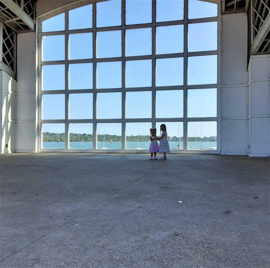
P.C. Cher B, 22 August 2021
Lake Harriet Discovery. . . Why is this lake not connected to the other lakes by water?
I have always wondered why Lake Harriet is the only lake of the five not able to be connected by water, but easily by foot or bicycle. Now I know! Connecting it to the others with a channel was widely discussed but never pursued. The surface of Lake Harriet was 7 feet lower than Bde Maka Ska / Lake Calhoun – and a channel would have required locks to make it navigable! (Good call!)
The Pavilion
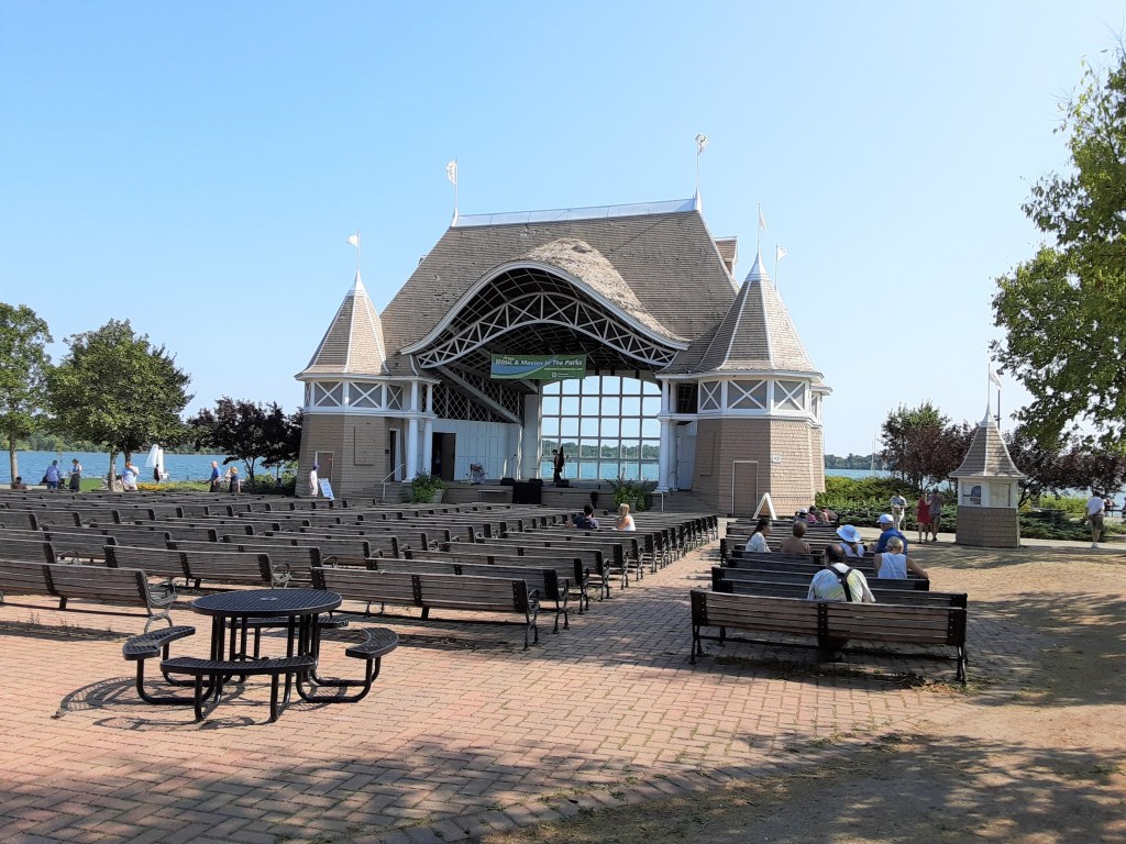
Beginning in 1888, there have been several pavilions in this spot. In the early years, it was accessible by bicycle and street railways. One built in 1925 lasted until the current one was built in 1986. This Victorian style pavilion is the first to provide the audience with views of the lake while enjoying a concert.
P.C. Cher B 22 August 2021
Parking: There are several pay-per-use parking lots close to the lake as well as free street parking in the neighborhood. Consider street parking closer to the gardens (to the east). Remember: these are people’s homes! They need a place to park also! Pay attention as there are lots of one-way streets in the area and it can be very confusing.
Lake Harriet Bonus: Lyndale Park & Gardens
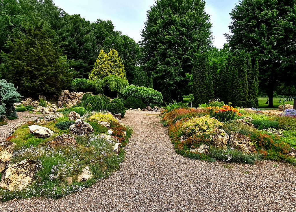
We can again thank Theordore Wirth who, in 1907, as Superintendent of the Minneapolis Park and Recreaton Board, proposed a garden of trees, shrubs and flowers. Lake Harriet / Lyndale Park was born. In 1915, the bulk of the of collection of over 350 plantings was installed. The 61-acre park now includes a Rose Garden, Fountains, a Hummingbird and Butterfly Garden, Perennial Gardens as well as the Peace Garden and adjacent Roberts Bird Sanctuary. Admission to all are FREE. Parking options include metered parking in lots or free street parking in local neighborhoods (if you can find a spot). Here is a taste of my three favorite areas.
All info and photos in this section from minneapolisparks.org
Rose Garden
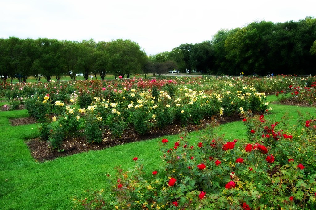
This Rose Garden is the second oldest public rose garden in the U.S. During peak season, the garden can contain 60,000 blooms! The layout, the same as its initial planting in 1908, includes 62 rectangular plots in the center with hybrid tea and grandiflora roses. The outside fence is lined with floribundas, old fashioned and shrub roses. On display are 3,000 + roses, over 250 varieties, with naming signage.
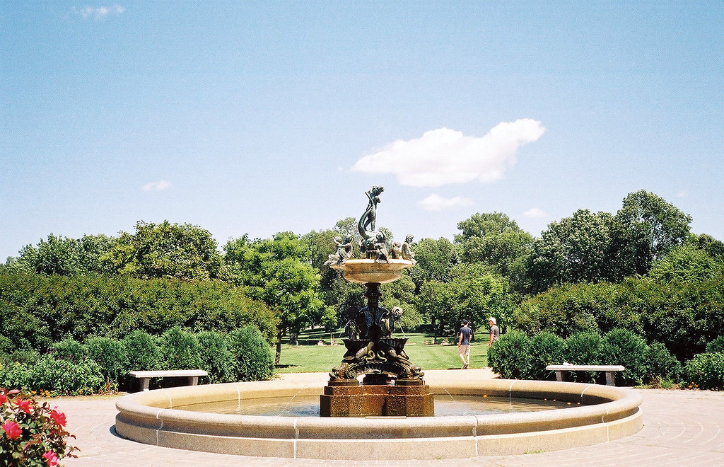
The Heffelfinger Fountain, a bronze and marble sculpture imported from Italy, adorns the uppermost end of the garden overlooking the lake.
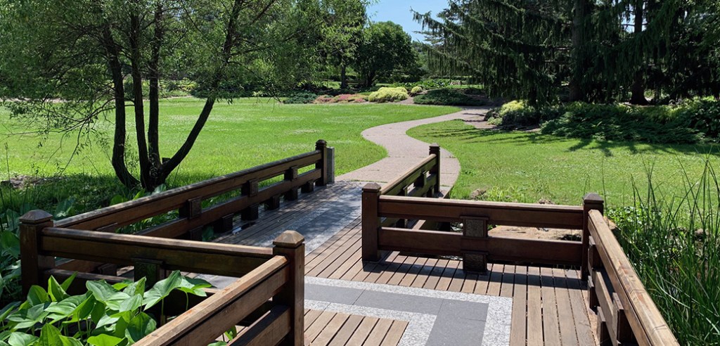
Japanese Peace Garden
The Peace Garden is a peacful place to stroll or sit. Originally called the Rock Garden, it was renamed the Peace Garden in 1998 and was designated an International Peace Site on May 5, 1999. Between the north side of Lake Harriet and Lakewood Cemetery, it is next to the Roberts Bird Sanctuary and easily accessible.
The Peace Garden Bridge, a centerpiece of the park, was installed in 2009. According to Japanese tradition, it is constructed in a zigzag pattern to prevent evil spirits from following people into the garden.
Bird Sanctuary
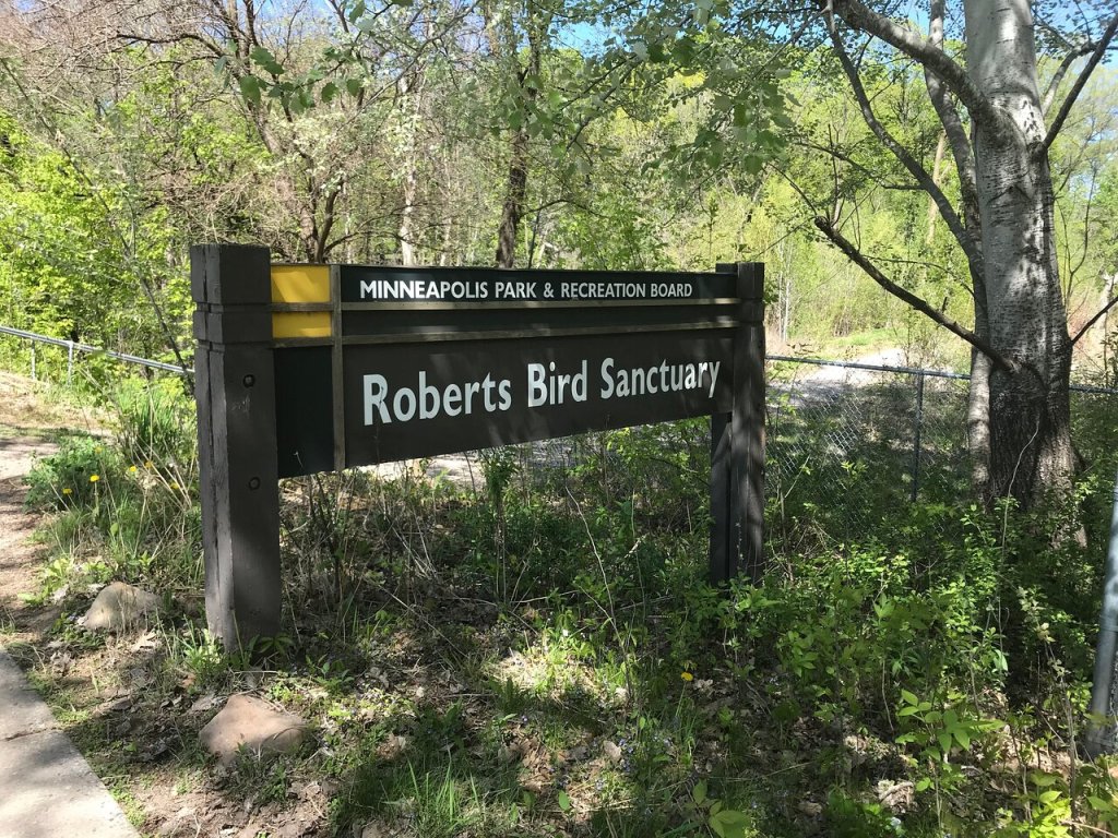
Roberts Bird Sanctuary is a 31 acre preserve that lies adjacent to the shores of Lake Harriet. It encompasses wetlands, wet prairie, and forest which attract a wide variety of birds – more than 200 species have been identified. Herons, egrets, songbirds, raptors and warblers abound.
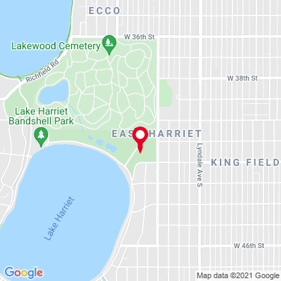
This map (below) gives good perspective on the highlights of the area. At the top left is Bde Maka Ska. Enjoy my separate blog on Lakewood Cemetery.
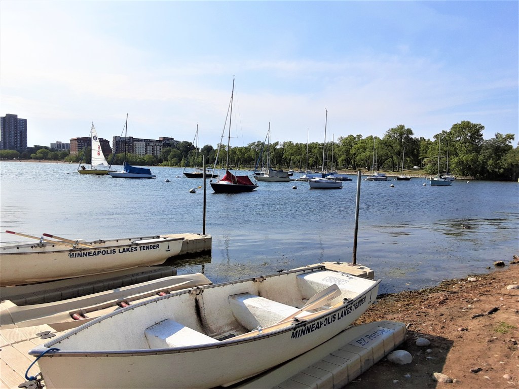
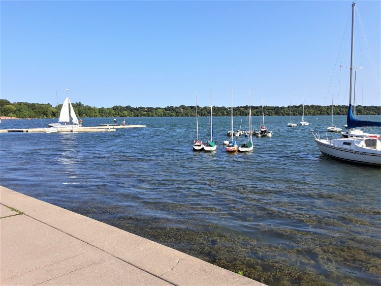
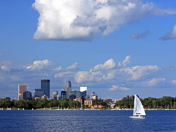
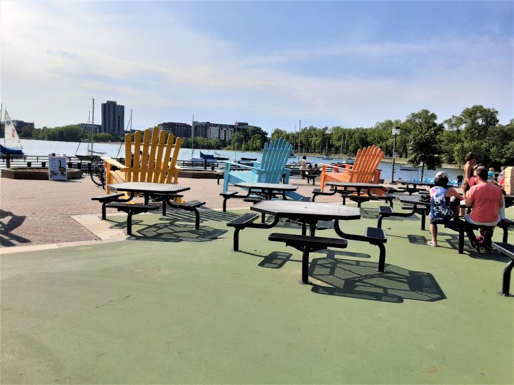
Bde Maka Ska / Lake Calhoun
A great lake for sailing
Bde Maka Ska is the busiest of the lakes and has a very urban feel. It is a great lake for sailing.

P.C. Cher B. 22 August 2021
P.C. Cher B. 22 August 2021
There are great views of the grand Minneapolis skyline from the middle and south sides of the lake.
Google Images 24 August 2021
Parking: some metered parking lots as well as on-street parking in local neighborhoods. Check the park website for specifics on each lake.
The Name of the Lake
Originally called “Bde Ma-ka-ska” (pronounced buh-DAY’ muh-KAH’-skah) by the local Dakota, it meant “Lake of the White Earth.” Settlers later named it “Medoza” or Loon Lake.
As the land was settled, the lake was named Calhoun in honor of John C. Calhoun, US Secretary of War who surveyed and authorized construction of Fort Snelling around 1817, beginning the settlement of the Twin Cities. He served as Vice President of the United States (1925-32) under John Quincy Adams and Andrew Jackson.
Bde Maka Ska / Calhoun Discovery . . . Why was its named changed?
Recent controversy arose when it was publicized that Calhoun was pro-slavery and it was heavily petitioned to remove his name from the lake. The name change was fiercely debated by Minnesotans, but in the end, the lake was officially returned to its Dakota name in May 2020.
P.C. Cher B 22 August 2021
The historic Lakewood Cemetery is just to the east of – and has great views of – the lake.
Google images, Walkerart.org 24 August 2021
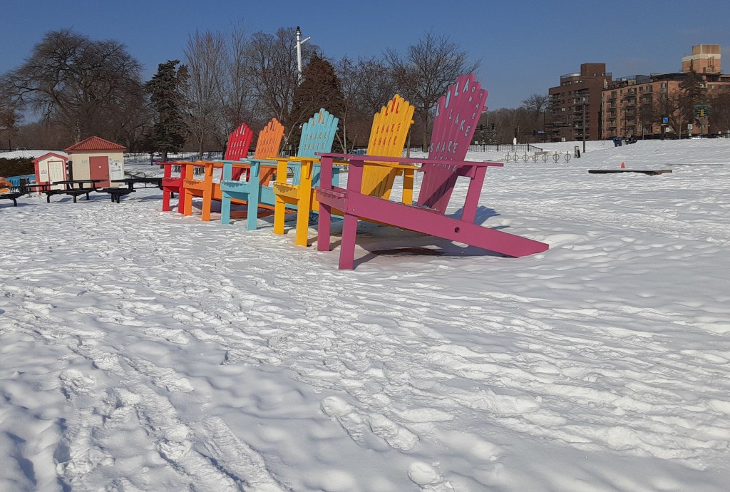
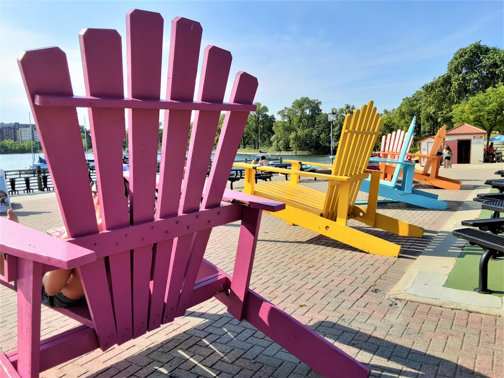
What a difference 5 months makes in Minnesota!
P.C. Cher B. 22 August 2021
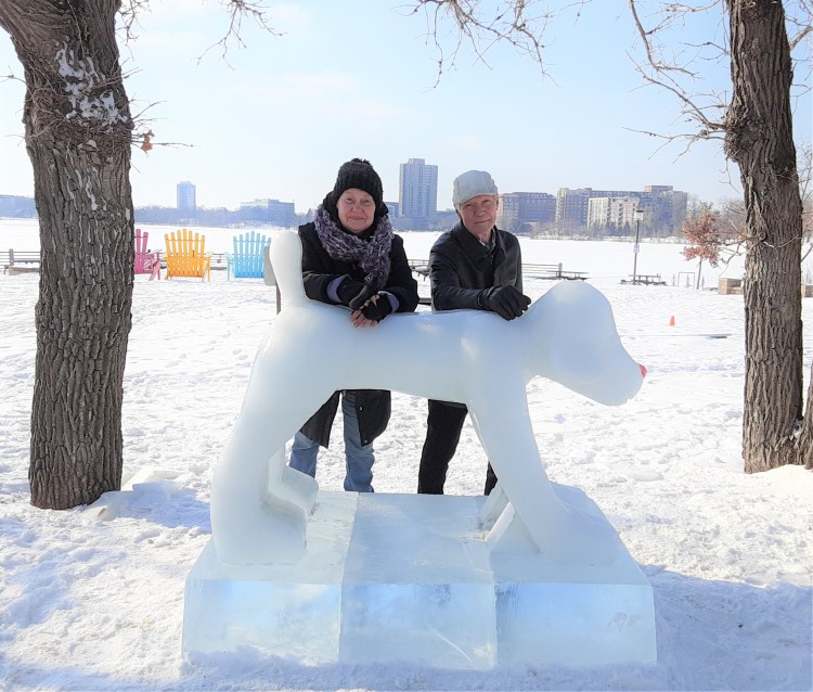
P.C. Cher B 20 February 2021
It was fun to look back at our Mia Art in Ice Travel Date last winter. This is a great example of the contrast in seasons in Minnesota.
P.C. Cher B 20 February 2021
Lake of the Isles
P.C. Cher B. 22 August 2021
It has two small wooded islands, Mike’s Island (north end) and Raspberry Island (not to be confused with St. Paul’s Raspberry Island!). Both are protected wildlife refuges and contain virgin woods. Landing on either of the islands is prohibited, as marked by signs. It has a clear view of the Minneapolis skyline towards the NE.

Google Images walkerart.org 24 August 2021
Lake of the Isles Discovery . . .
Why does this lake have such an interesting shape?
Lake of the Isles is “an engineered lake” aka man-made lake – sort of – created in the early part of the 20th century.
A shallow lake and marsh complex called “Wita Tomma” (“four islands lake”) by the local Dakota, was dredged. This material was then used to ultimately create an interestingly shaped and picturesque park.
P.C. Cher B. 22 August 2021
Lake of the Isles is very scenic with beautiful bridges on each end of the waterway.
Parking: some metered parking lots as well as on-street parking in local neighborhoods. Check the park website for specifics on each lake.
P.C. Cher B. 22 August 2021
Lake of the Isles does not have a swimming beach.
P.C. Cher B 22 August 2021
Stately houses line Lake of the Isles. The one below was seen in the credits for the Mary Tyler Moore Show (1970s).
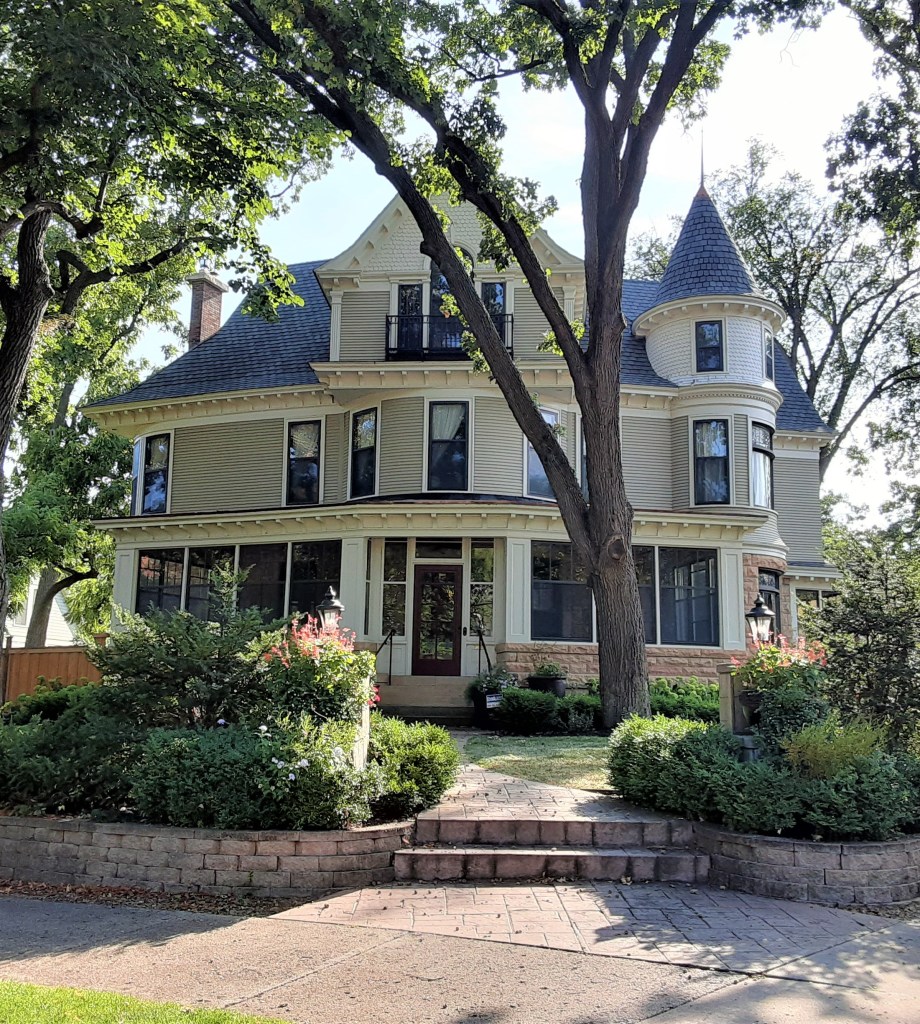
P.C. Cher B 22 August 2021
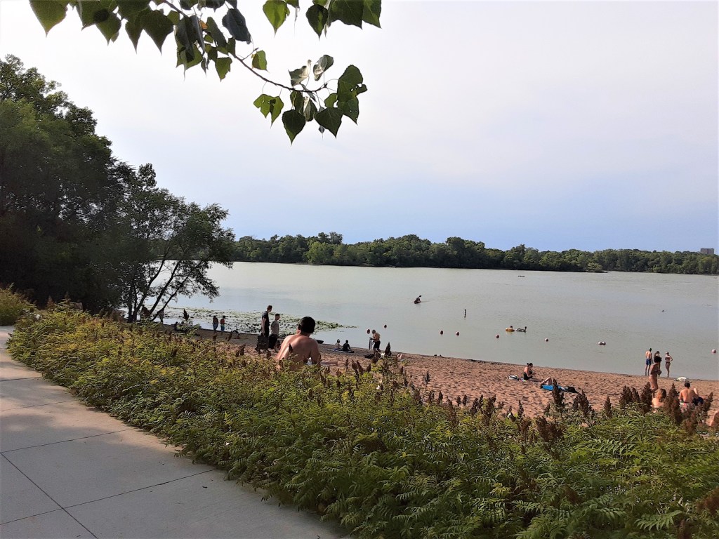
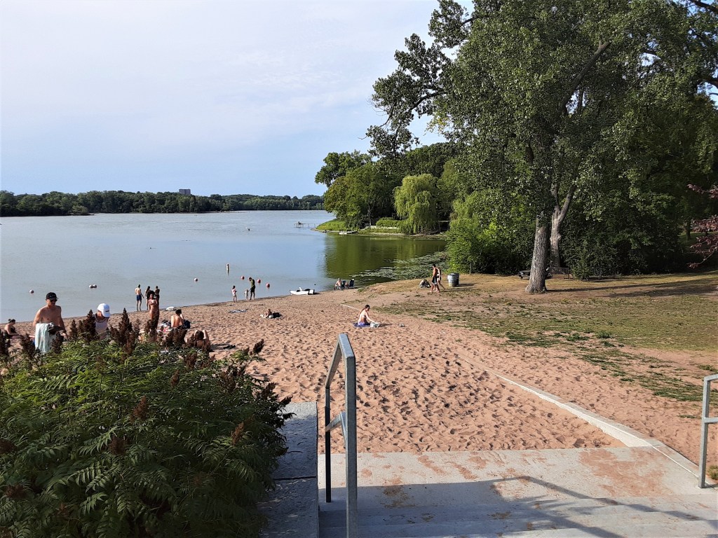
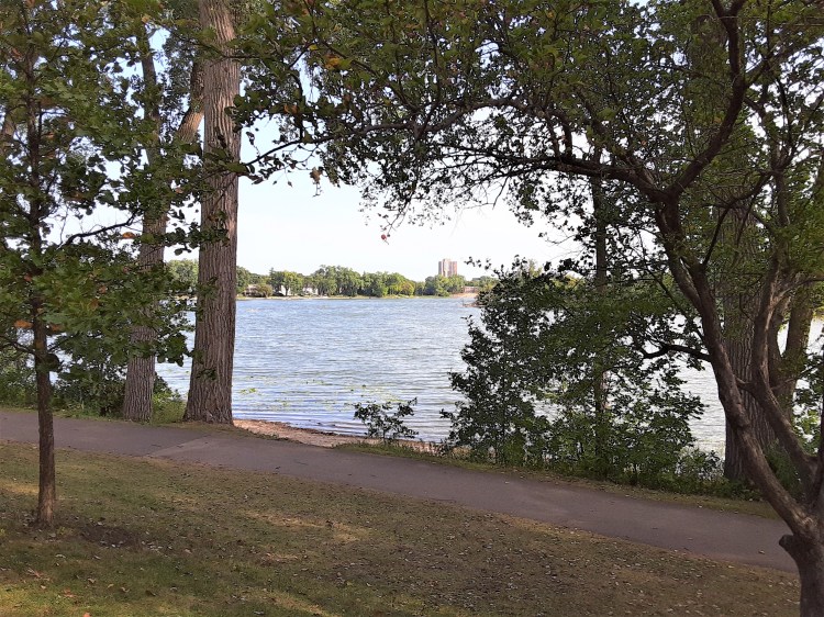
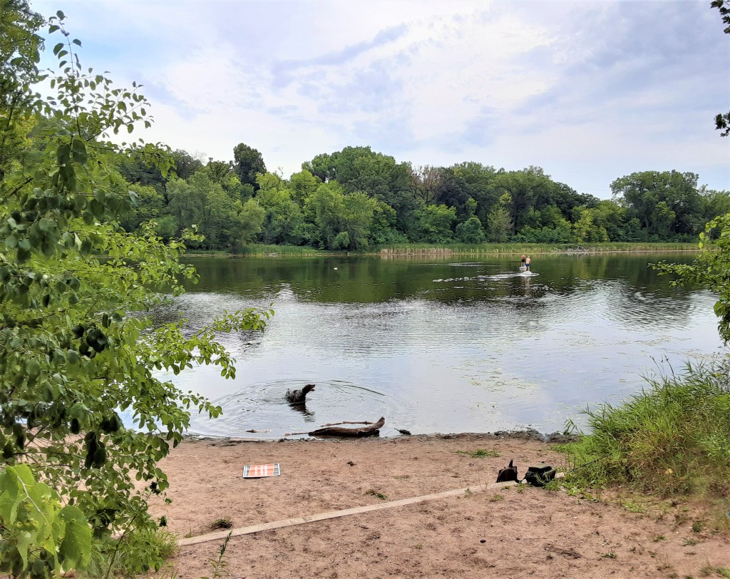
Cedar Lake
Cedar Lake, just west of downtown Minneapolis, is situated within the banks of an ancient riverbed that eventually became the Minneapolis Chain of Lakes. It is tree-lined and has 3 sandy beaches.
On the NORTH: The Cedar Lake Trail and BNSF Railway (below) Until 1980, the huge railroad yards dominated the north and east sides of the lake.
P.C. Cher B. 22 August 20201
On the SOUTH: there is parkland and a sandy beach right next to the busy main street (below). This provides easy access to the neighborhood but also lots of noise.
On the EAST: it borders the Kenwood residential area, just further up the beach from the photo below.
Cedar Lake is a great starting point for canoeing/kayaking around the Chain of Lakes. Rental racks for your canoes/kayaks are available through the park board.
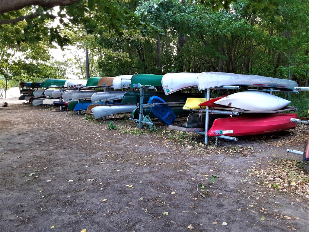
P.C. Cher B. 22 August 2021.
Like each of the lakes on the Chain, Cedar Lake has its own personality It has a more residential feel and a relaxed, family-focused vibe. Whereas the first three lakes have walk paths and easy public access on all sides, Cedar (and Brownie) Lakes are not so easily accessible.
Cedar Lake’s intriguing story. . .
At first I thought Cedar Lake was rather boring, at least compared to the interesting back-stories for Harriet, Bde Maka Ska, and Lake of the Isles! After all, even its name has no mystique or controversy: Cedar. It has no intriguing pavilions, islands, or TV show credits! Boring…. ?? Not so!
Cedar Lake Discovery . . .
Why is the east side of the lake so inaccessible?
All lake shore is owned by the MPRB (Minneapolis Park and Recreation Board). This works well for the public for the parkland on the west, but impacts public accessibility from the other sides. There is a busy street on the south, Cedar Lake Trail and railway on the north and residential area on the east.

Google Images. cedarlakepark.org 24 August 2021
Yes – the MPRB owns all of the Cedar Lake shoreline. However, you and I are unable walk or bike around the whole lake as we can on the other 4 lakes. Over 50 years ago, a handful of private residences along the southeast and east section were granted revocable “encroachment licenses” by the MPRB. These licenses allow private use of the public lake shore and limits public use of this lake front property. The residents have taken “claim” to their lake shore property and treat it as if it is their own – This is a major controversial issue for the east side of the lake!
Parking: some metered parking lots as well as on-street parking in local neighborhoods. Check the park website for specifics on each lake.
On the WEST: Cedar Lake is surrounded by parkland, along with 2 of its 3 sandy beaches.
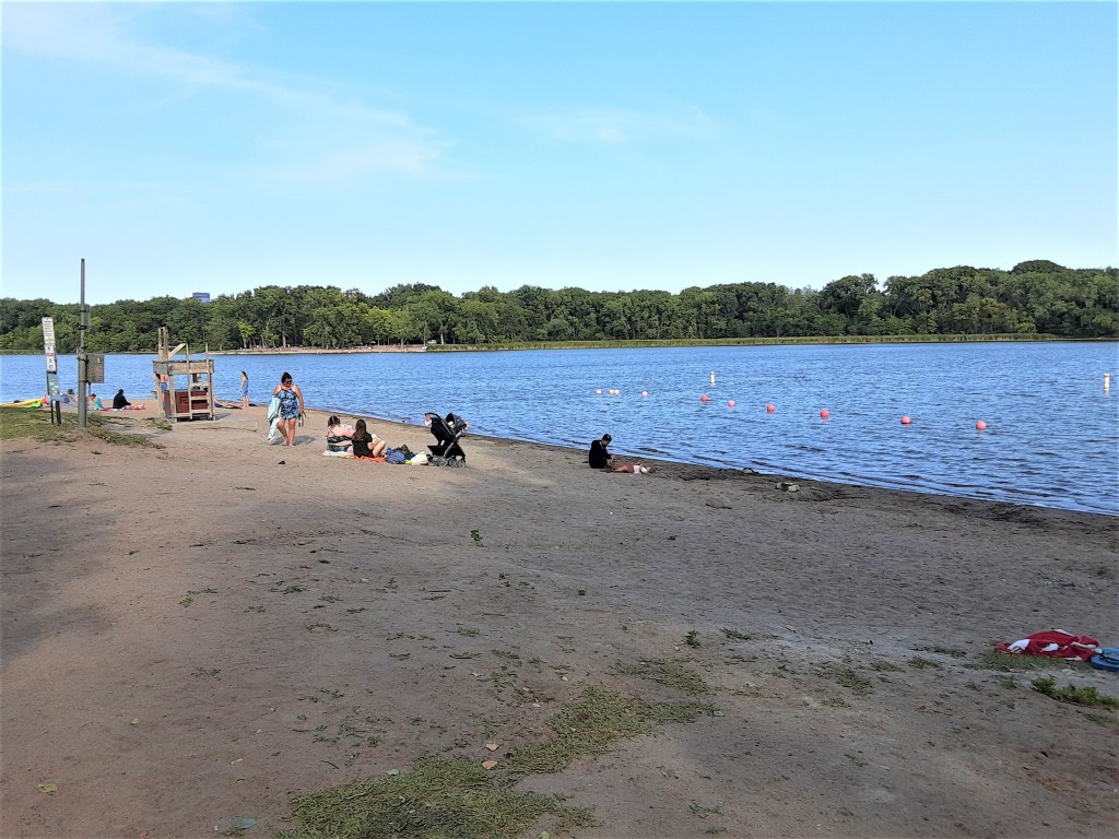
P.C. Cher B 22 August 2021
These two beaches on the west side are much more rustic than the south Cedar beach, or the beaches of Bde Maka Ska or Harriet.
P.C. Cher B 22 August 2021
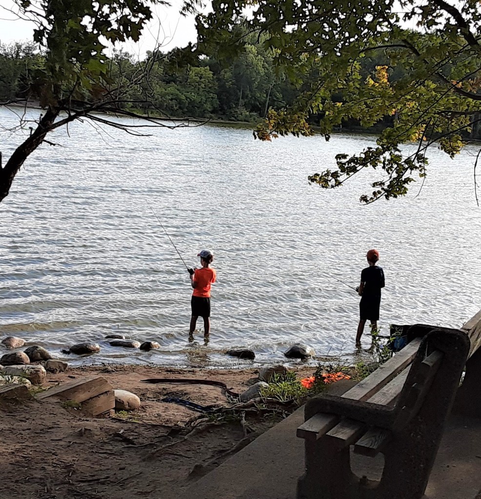
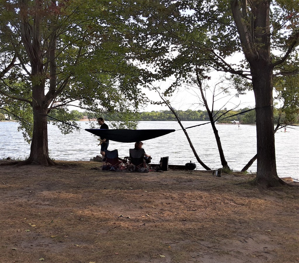
I enjoyed the more relaxed, family atmosphere 0f the two west beaches of Cedar Lake. Kids were fishing while their parents read, perched on tree roots along the shore or swinging in hammocks. It was much quieter.
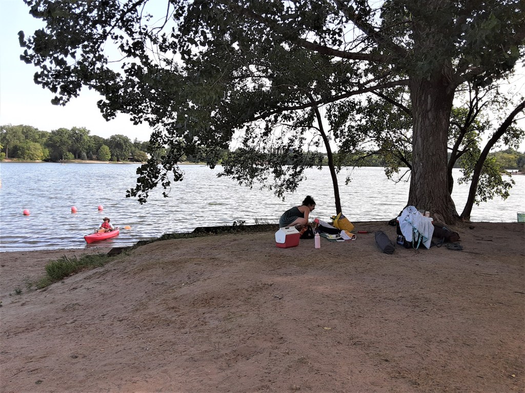
P.C. Cher B 22 August 2021
P.C. Cher B 22 August 2021
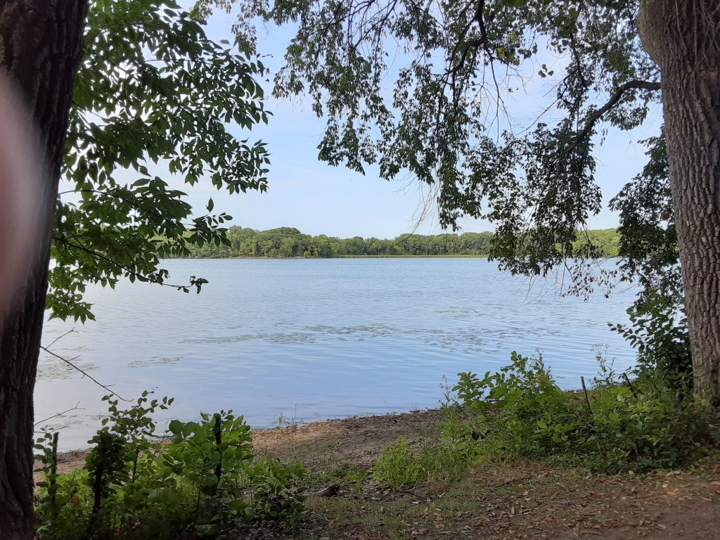
Brownie Lake
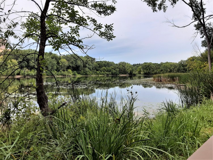
With only a mile of shoreline, with paths winding in and out of a wooded area, it is a hidden retreat where one can easily forget that one is in a major city, next to a busy highway (I-394) and a short distance from downtown filled with skyscrapers.
Brownie Lake is the smallest and quietest of the lakes, with lots of lily pads and water lilies. While reportedly good for swimming, its beach is small and remote.
It is accessible by canoe or kayak through a tunnel-like channel into Cedar Lake. It is not accessible by car; there is no parking near the lake. Getting to the lake easily by foot or bike is a mystery! (Details on this adventure are on my Brownie Lake blog)
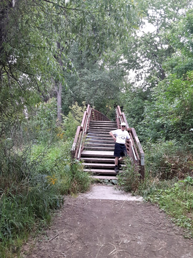
Brownie Lake Discovery. . . so much!!!
This Travel Date to Brownie Lake provided the chance to explore and discover something new – and it proved to be quite an adventure! In fact, it was so much of an adventure that Brownie Lake earned its own, private blog page!
Conclusion
The Minneapolis Chain of Lakes and Park are truly a gift to us all. I am amazed at all the gardens, beach area, parks – plus a massive cemetery – that fit into this piece of land, right in the middle of a major city! We can all appreciate the planning and foresight of the city founders for this gift that keeps on giving today, over a hundred years later.
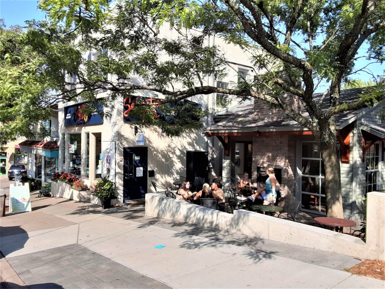
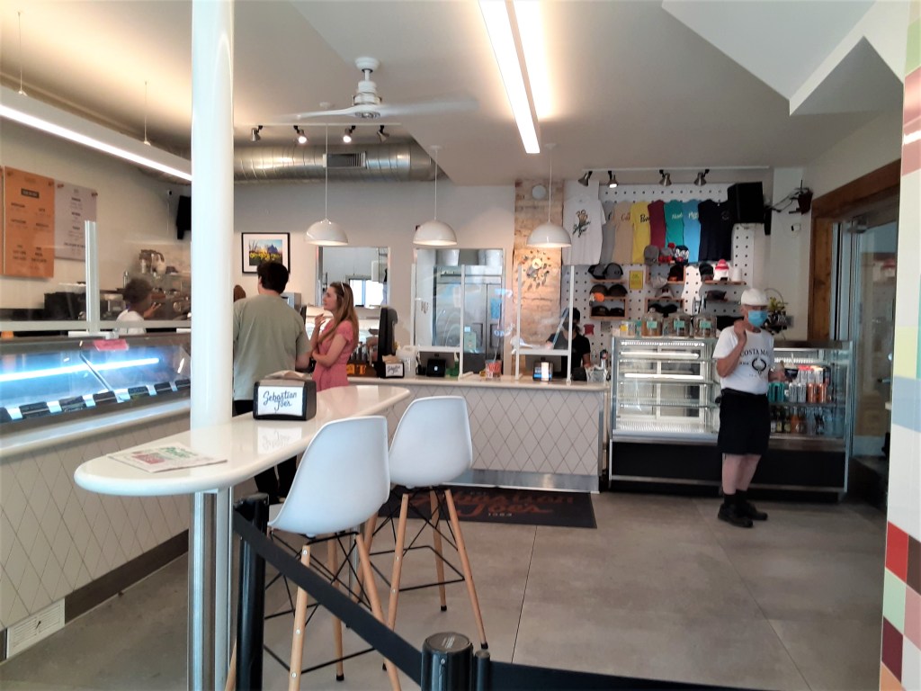
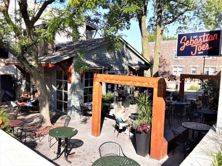
Ice Cream Stop: Sebastian Joe’s
Stops for ice cream/gelato are essential to a good Travel Day as you may have discovered if you’ve followed my Travel Date blogs! Deciding on the perfect culinary stop can be as much fun as the site on the itinerary!
Sebastian Joe’s can be counted on for great ice cream – and it was! This shop in Linden Hills is just a few blocks from Lake Harriet and has lots of patio seating and neighborhood ambiance. (Due to the winding streets around the lakes, we were glad for our GPS navigation to get us there!)
P.C. Cher B 22 August 2021
P.C. Cher B 22 August 2021
P.C. Cher B 22 August 2021
Sources
- Self-guided Tour of Cher & Skip B, 22 August 2021
- Photos by Cher B. 22 August 2021, unless otherwise noted.
- Minneapolis Parks: minneapolisparks.org
- Calhoun History: westcalhoun.org/history-west-calhoun/

I enjoyed reading this. Growing up in Linden Hills between Lake Harriet and Bde Maka Ska, I enjoyed reading about the history. My friends and I would hang out at Lake Harriet and take swimming lessons at both lakes in the early cold spring. We would go sledding at the rose gardens, walk regularly through the bird sanctuary, listen to the summer concerts, and skate on Lake Harriet in the winter. Our elementary school was Lake Harriet.
All of the neighborhood was buried at Lakewood Cemetary, including my parents and grandmother. We never thought of it as a historical place. We never thought about the history of the area, it just was. Thank you for sharing. This was a very fun writing of my old stomping grounds. I am enjoying all your blogs!
LikeLiked by 1 person
Thanks, Carolyn! Such fun memories! I love them! (They truly made you into the fun person that you are!) I have a separate blog coming on Lakewood Cemetery!
LikeLike
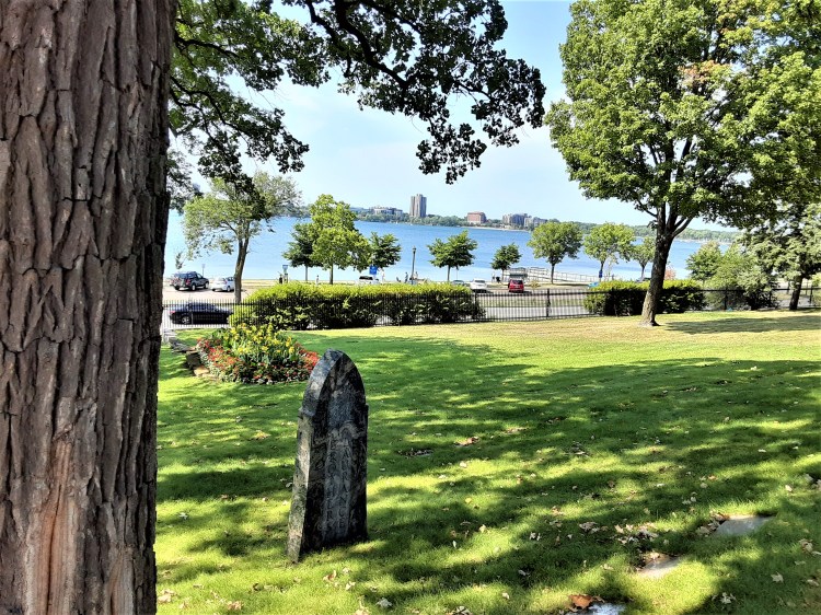
My great great grandfather Gideon Pond and his brother Samuel built their first cabin on the shore of Lake Calhoun in the midst of the local Dakota village.
They were asked by Cloudman, chief of the village, to teach them how to grow corn.
There is a stone monument on the northeast side of the lake that denotes that spot.
LikeLiked by 1 person
Thanks for sharing! What a great piece of history! Have you seen the stone monument? Could you direct me (or someone) to it?
LikeLike